
Assessing the Potential of Geotab's Altitude Data for Urban Freight and Mobility Insights
Geotab Inc.
Motivation & Problem Description
- Freight planners need to understand not only where commercial vehicles travel, but also which kinds of vehicles create the travel and idling they see. Traditional GPS analysis works from individual vehicle paths. Privacy-safe telematics takes a different route: it provides ready-made summaries of origin-destination flows, travel, idling, and stops, together with vehicle class and vocation, while removing vehicle-level identifiers. Platforms such as Altitude by Geotab make metropolitan freight analysis possible without exposing individual traces.
- That design creates both a limitation and an opportunity. The platform's trip-chaining rule and the boundary of the study area affect how flows are labeled, so its origin-destination results cannot be read as reconstructed vehicle tours. But the added class and vocation labels make it possible to see operating differences that movement paths alone cannot identify. This study shows how those trade-offs change the way freight data should be used.
Objective
- This study has three goals for using privacy-safe telematics in freight analysis. First, it examines whether established freight analyses, such as origin-destination flow typologies and activity patterns, still work with privacy-safe data. Second, it explains how platform-defined outputs must be interpreted to support reliable conclusions. Third, it identifies the new ways privacy-safe telematics can describe metropolitan freight activity.
Solution
- The team developed and tested an analysis method built around three steps: checking how the data-processing rules affect freight flow patterns, comparing the operating behavior of different vehicle groups, and combining several measures to describe both movement and stationary activity. The method was tested using one week of data for 35,237 commercial vehicles traveling across the 11-county Atlanta metropolitan area.
- At each step, the team checked what each measure represents before drawing conclusions from it. This keeps related measures connected without assuming they describe the same behavior and makes the method useful for other privacy-safe freight datasets with similar features.
Impact
- The paper's results make the differences concrete. At the 30-minute threshold, 63% of observed journeys stayed within the eleven-county metro area, while only 2% were out-of-state pass-through trips; the same data show that the result changes when the study boundary changes.
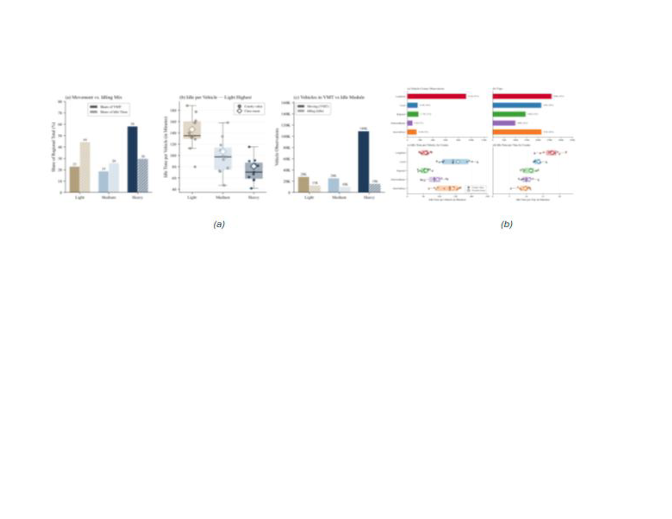
- Vehicle class also changes the story: Heavy-Duty trucks account for 67% of vehicle-county observations and 58% of vehicle miles traveled (VMT), but only 47% of trips, whereas Light-Duty vehicles account for 17% of observations, 23% of VMT, and 30% of trips.
- Vocation tells a similar story about operating cycles. LongHaul vehicles averaged about 57 minutes of idle time per vehicle, while Door-To-Door and Local vehicles averaged about 141 and 158 minutes.
- For planning agencies, these findings support a more focused use of freight data: identifying where fleet presence is high, where operations are most intense, and which vehicle groups create movement or idling burdens. The data support system-, corridor-, zone-, class-, and vocation-level analysis, but not individual tours, stop purpose, or total population counts without outside calibration.
click image to enlarge
ISyE Faculty PI

Benoit Montreuil
Coca-Cola Material Handling & Distribution Chair
Professor
Director of the Physical Internet Center and Executive Director of the Supply Chain & Logistics Institute